

Precision Aerial Insights for Smarter Land Decisions
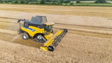
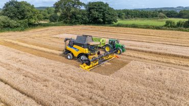
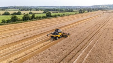
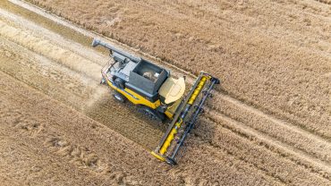
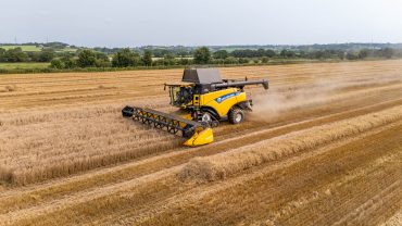
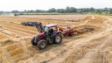
Star-Lite Drone Photography Ltd provides specialist aerial media and analytical support for farms, estates, and land management professionals. Our drone technology delivers high-resolution images, wide-area coverage, and data-driven insights that help improve planning, productivity, safety, and operational efficiency.
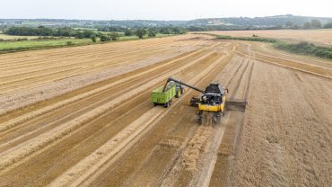
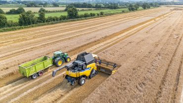
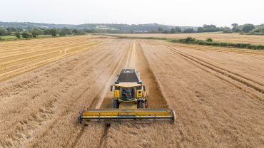
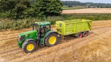
Whether you manage agricultural crops, large rural estates, forestry areas, or development land, our aerial surveys allow you to see your land from a powerful new perspective.


Services start from £380, depending on the size of the land area and the level of reporting required.
Designed for general landowners and farms needing clear aerial visuals.
Includes:
• High-resolution overhead images
• Field and boundary mapping
• Basic crop and land condition overview
• Up to 45 minutes of flight time
• Digital media delivery
Ideal for:
Small farms, rural properties, and general land assessments.
Provides deeper insights for practical, day-to-day land management.
Includes everything in Essential, plus:
• Detailed crop health imaging
• Drainage and irrigation visual checks
• Livestock or infrastructure observation
• Multi-field monitoring
• Extended flight time
• Optional on-site review discussion
Ideal for:
Medium to large farms requiring operational visibility.
A full-service package for estates, developers, and agricultural consultants.
Includes everything in Operational, plus:
• Pre- and post-development aerial documentation
• Forestry and habitat monitoring
• Planning support visuals
• Progress tracking over multiple visits
• Custom reporting
• Tailored coverage for wide estates or large development plots
Ideal for:
Estate managers, commercial farms, land developers, and conservation teams.