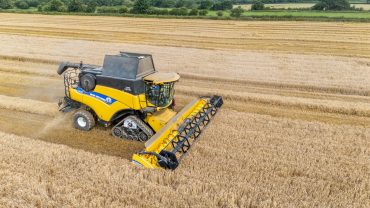
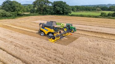
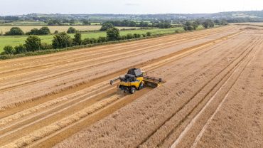
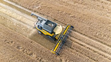
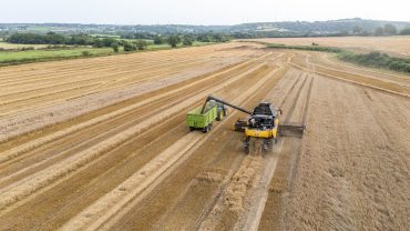
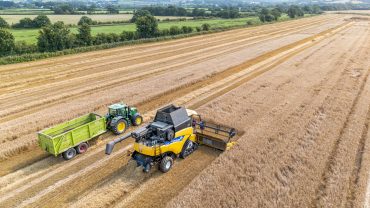
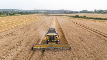
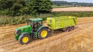
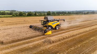
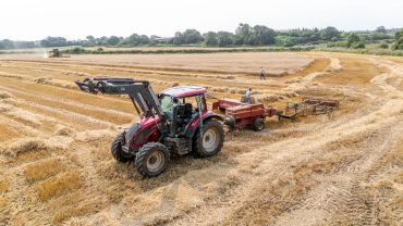
Precision Aerial Insights for Smarter Land Decisions
Star-Lite Drone Photography Ltd provides specialist aerial media and analytical support for farms, estates, and land management professionals. Our drone technology delivers high-resolution images, wide-area coverage, and data-driven insights that help improve planning, productivity, safety, and operational efficiency.
Whether you manage agricultural crops, large rural estates, forestry areas, or development land, our aerial surveys allow you to see your land from a powerful new perspective.